On Friday, I was back on the Bay Circuit Trail to continue my quest to cycle the entire trail. I arrived early at the J.C. Phillips Wildlife Sanctuary trailhead, but once again my friend Bill was already in the parking lot. He's definitely an early riser. Tony rolled into the lot shortly after, riding his bike the six miles from his house. It was funny to see him wearing an orange jacket. Bill and I were also sporting orange jackets! I was happy both decided to join me for a second ride. Perhaps they've been bitten by the BCT bug?
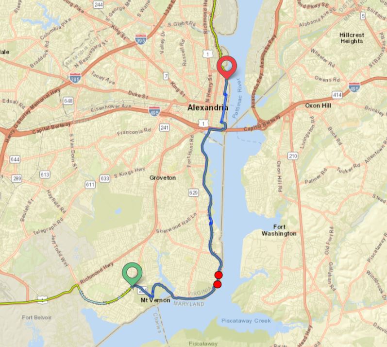
Overview of route - Red indicates paved, blue is unpaved.
As we started, we commented about how cold it was this morning, but we soon warmed up on the 7% climb up Moonpenny and Crooked Pond Drives. Bicycles are not allowed in the sanctuary, so we had to do a one-mile road ride to enter Boxford State Forest (BSF) by way of the North Loop trail. We rode in the direction of Bald Hill, but the BCT turned onto Thomas Road, and we avoided the 246-foot climb. The four miles of trails in Boxford Forest were generally easy biking but we did have to find our way around flooded sections a few times.
There have been many improvements to the trail since my last visit. These wet sections of trail were far less numerous than what I encountered on my 2011 run. He rides rough trails on skinny tires and he's still smiling. He's a sick puppy!
While in BSF, Bill spotted a stone chimney about 100 feet off trail. It was surrounded by heavy growth so we couldn't get a closer look. I researched online to see if I could find information about the chimney without success. While researching the history of BSF I learned that it was home to the first Sentinel Anti-Ballistic Missile site in the continental United States. The project was started in 1968 but never completed due to local opposition and a change in military defense strategy.
This is not the only chimney I've seen in the middle of the woods.
Beavers are active in Pout Pond.
Leaving the forest, the BCT is on roads for one mile before entering Harold Parker State Forest (HPSF). The first 1.5 miles of single-track in HPSF were rough but rideable. This would change as soon as we exited the Leland Parcel section. Mountain biking trails have difficulty ratings similar to downhill ski runs. Easy trails are rated green, while blue is intermediate and black trails are considered very difficult.
Up to this point we were on green trails but the next 3.5 miles of single-track were rated blue. The difficulty level was immediately evident. The trail was a minefield of rocks and roots of all sizes. The difficulty was compounded by the constant twists and turns, and ups and downs. There was very little level trail the entire way.
We were about halfway through HPSF when we crossed paths with two mountain bikers coming in the opposite direction. Tony knew them so we stopped and chatted awhile. When they heard we were riding the Bay Circuit Trail one said, "The BCT ahead of you is much harder than what you just rode". OH GREAT! She wasn't joking either. We got through it by riding slowly and walking when the trail got too technical. We're senior citizens after all, and prefer to remain upright. We don't bounce off the ground like we used to. 😆
Slow and steady. Live to ride another day.
No trail, no problem.
When I ran the BCT, I dreaded road sections. But now, I rejoiced when we finished the HPSF section and began a 1.5-mile paved section leading to Ward Reservation. When on foot, the BCT bypasses this road section, entering the Skug River Reservation and connecting to Mary French Reservation and Great Meadow Reservation on trails. These reservations are managed by The Andover Village Improvement Society and bicycles are not allowed on their properties. Today, I thanked them for that!
Entering Ward reservation, we were faced with our first substantial climb of the day, gaining 241 feet in .75 miles with a maximum grade of 17.2%. It began on rocky single-track, followed by a side hill carriage road and finished on a grassy meadow atop Holt Hill. At 423 feet, Holt Hill offered a 180-degree view with the tall buildings of downtown Boston in sight 15 miles south. After a brief rest, we made a fast descent off Holt Hill and ended our BCT ride at the intersection of Prospect Road and Route 125 in Andover.
The official summit.
View from Holt Hill.
My third ride is in the books and I'm about two miles behind my BCT run pace. The next couple of sections of the BCT have a greater percentage of roads than my last two rides so I should be able to jump ahead of my 2011 run schedule. Time will tell.
Total distance - 13.8 miles, 42.3 cumulative.
Paved - 3.5 miles, 14.2 cumulative.
Unpaved - 10.3 miles, 28.1 cumulative.
Elevation gain - 1360 feet, 3422 cumulative.
Max grade - 17.2%
High point - Holt Hill, 423 feet
Towns traversed - Boxford, Middleton, North Andover, Andover,
Green spaces visited - Boxford State Forest, Harold Parker State Forest, Ward Reservation


.png)