 I had a few hours of free time Friday morning so I decided to hike a local trail before the heavy rain that was predicted rolled in. I've had the Cross Fells Trail on my mind for a while so this was a good opportunity to check in out. The air was heavy with humidity and the sounds of songbirds as I entered the woods at the Goodyear Ave trail head. It wasn't long before I was greeted with my first uphill and was I soon overheated. It didn't help that I was pushing the pace trying to complete the nine miles of out and back in three hours. It was an unlikely task but that was all the time I had to spare.
The trail was typical Middlesex Fells with an abundance of rocks and roots with an occasion smooth path. The terrain was constantly rolling with very few flat sections. The climbs were neither long nor steep but they were numerous as were the blue plastic bags lining the trail. They were all securely knotted and full of dog poop and a reminder that the Middlesex Fells is a haven for irresponsible dog owners. Thankfully, they were only close to the trail head and I did not encounter any more the deeper I got into the woods.

A rocky climb.

Followed by a rocky descent.
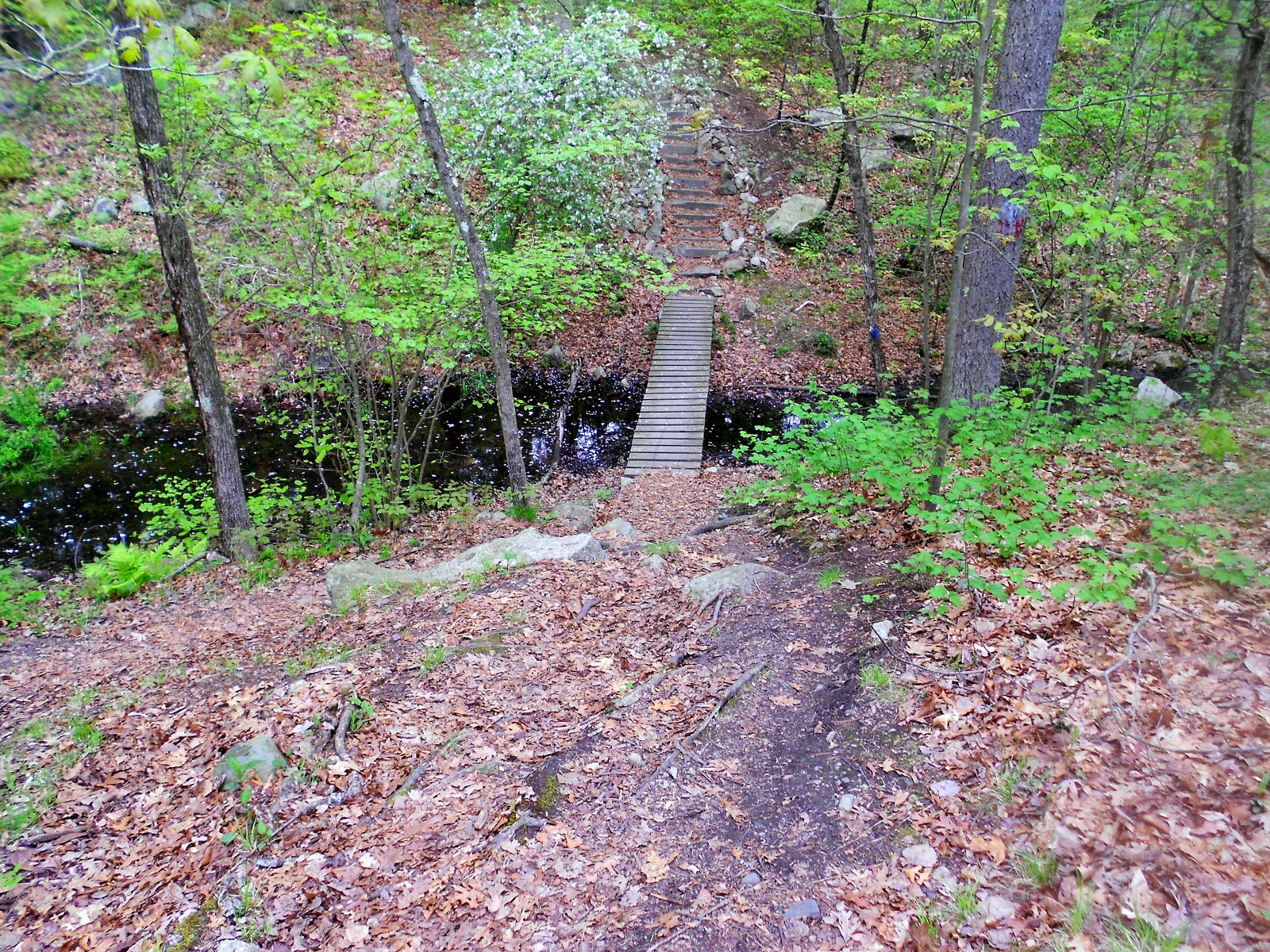
A steep drop to a creek.

And up a stone step trail.

Smooth rock slap trail ahead.

Low clearance!

A smoother section of trail.

The blue-blazed Cross Fells Trail.
On the return I stopped and talked briefly to another hiker coming towards me from the opposite direction. He told me there was a single lady slipper on the side of the trail just around the bend. Being too concerned with making time had caused me to miss it on my way out. I walked slowly around the bend trying to find the lady slipper among the brown leaves littering the forest floor. Not only did I find it, I also saw two more set back from the trail. It was a reminder that it's not always about making miles. Slowing down and taking the time to enjoy the nature around us is just as important.

Sometimes the smallest things are the most beautiful.

A gentle reminder to slow down or risk missing the forest's hidden gems.


