The first third of the hike was very scenic as we walked through mixed forest and crossed or walked alongside several rivers and brooks, some complete with waterfalls! The middle third was on remote, rolling dirt and paved roads. To emphasize the remoteness, only two vehicles passed during this 5 mile stretch. With the sun high in the sky, there was little shade to offer protection from the sun. The final third of the trail passed through open meadows and thick pine forests which felt much cooler than the open road section.
Rolling terrain but more uphill than down. (photo credit - Ron Correia)
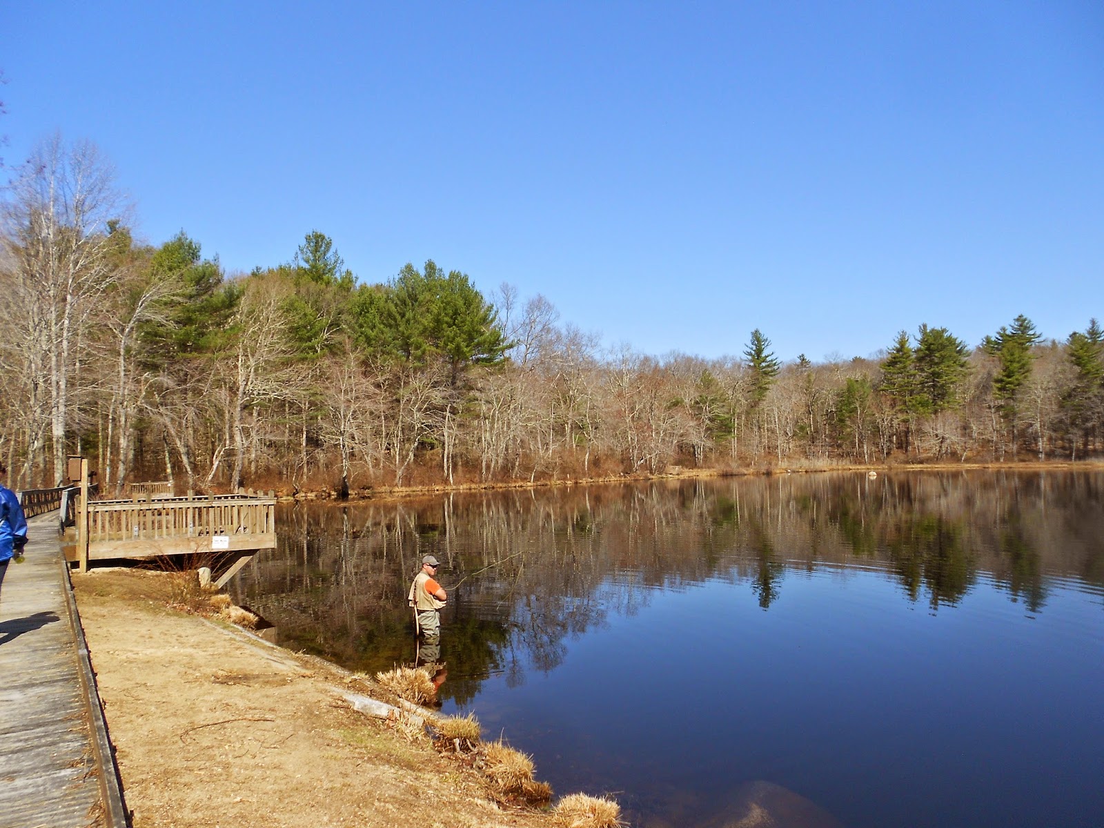
Trout fisherman trying without success at Roaring Brook Pond.
The reflection would be spectacular in autumn.
Rock hopping over a wet, muddy area.
Chimney in the middle of the woods of Arcadia WMA.
This path was lined with small pines for a considerable distance.
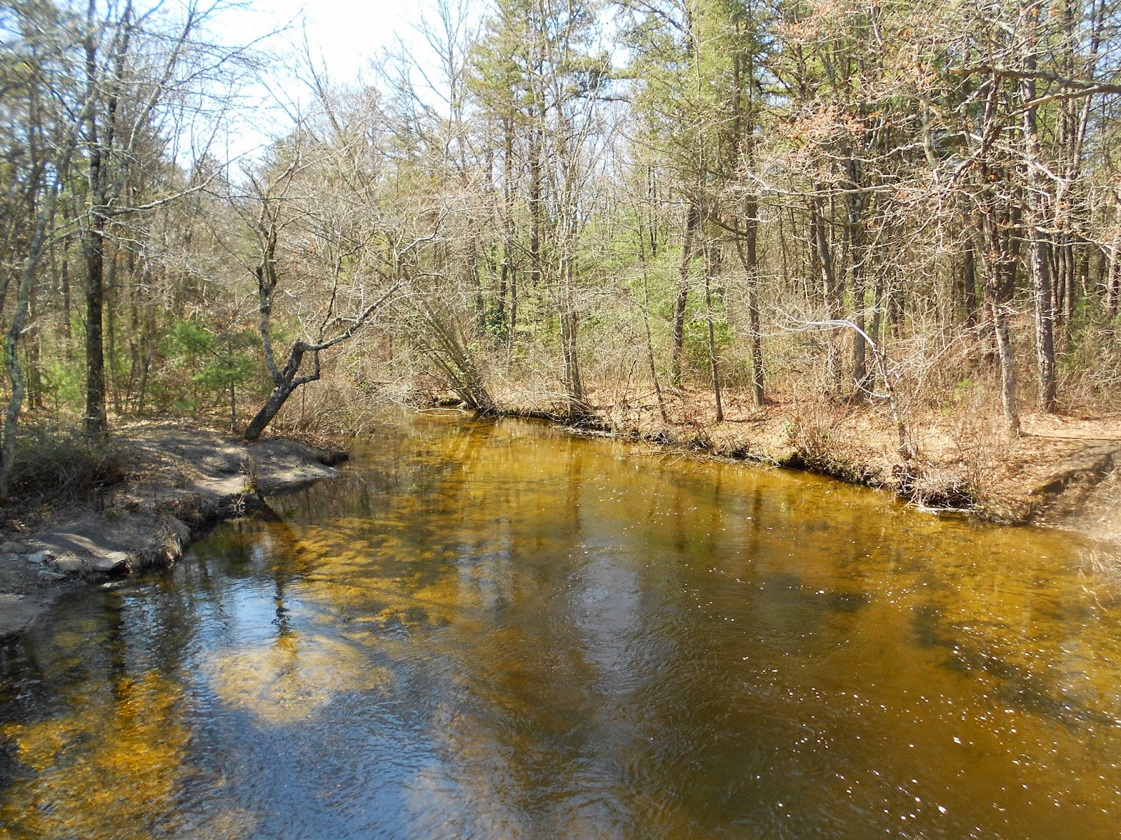
Smooth, calm water of the Flat River.
This pine needle covered section of trail was one of my favorites.
Small ripples of the fast moving Falls River.
Hanging out at Stepstone Falls.
View from a trestle bridge.
A large meadow in Nicholas Farm WMA. This was once a working dairy farm.
My daughter walking through a thick stand of pines.
Here is a short video highlighting the rivers and falls.
Stats:
Total Miles: 18.1
Elapsed Time: 6:20:00
High Point: 476 ftLow Point: 128 ft
Elevation Gain: 1322 ft
Elevation Loss: 1135 ft


No comments:
Post a Comment
What's on your mind?